|
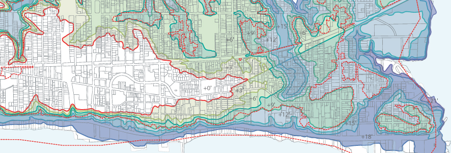
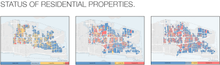
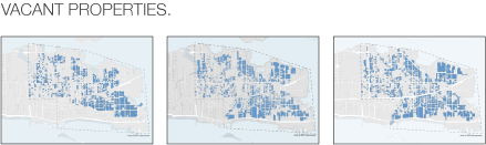
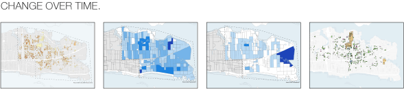
EAST BILOXI HOUSING ASSESSMENT For four years, GCCDS, in partnership with the East Biloxi Coordination, Relief & Redevelopment Agency, and scores of volunteers, has completed an assessment of residential properties in East Biloxi. The maps and figures documenting the results have helped various non-profits to target their relief efforts, pursue program funding, and measure their progress. With four years of data (2006, 2007, 2008, and 2010), GCCDS can now create maps showing changes in the area over the five years following Hurricane Katrina. The results of the four assessments are shown in the maps on this page. The findings show that, while numerous homes have been repaired or built anew, the number of vacant lots continues to increase, and the number of remaining potential rehab projects has dwindled. The maps also identify what many on the ground in Biloxi have intuitively felt, the crucial lack of rental housing in the wake of Katrina. The housing assessments are supported by HUD’s Universities Rebuilding America Partnership, and the mapping would not be possible without the generous assistance of the GISCorps. |
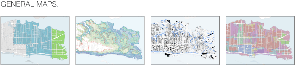
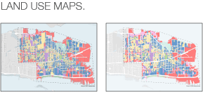
| Please click on the map thumbnail to preview a larger image of each map and to download a PDF of the map. |
|
 |
 |
 |
|