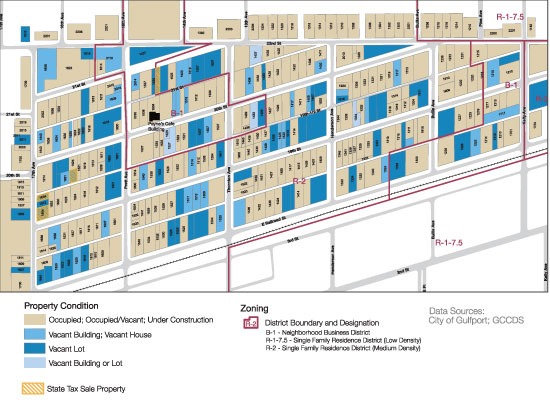
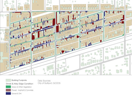
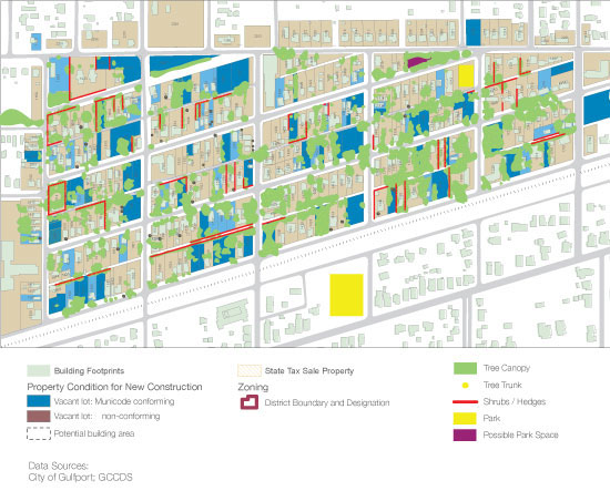
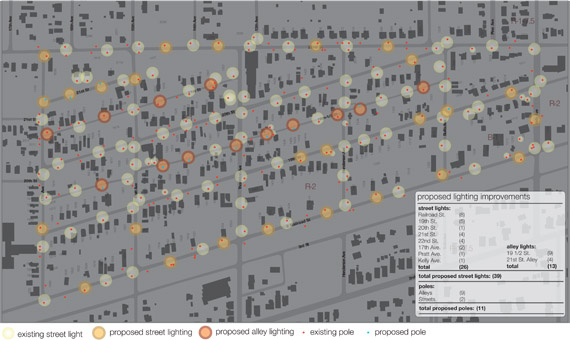
Soria City Mapping Through meticulous measuring and documentation of Soria City, students and the GCCDS have built an archive of analytical maps that have proven useful for all participating in ongoing work in the neighborhood. Learning from site-specific challenges of smaller residential projects within the neighborhood context, while examining the neighborhood characteristics as a whole has led the GCCDS to help change an esoteric zoning ordinance. As a result, residential infill projects across the entire city are now able to bypass the strenuous variance process in order to logically site infill development, while maintaining the historical characteristics of existing neighborhoods. Existing property conditions in Soria City: Edge conditions in Soria City: Tree canopy coverage in Soria City: Parcels within 500 feet of a GCCDS project that are in non-compliance of the former setback and zoning regulations: |
GCCDS
Gulf Coast Community Design Studio
- 769 Howard Ave.
- Biloxi, Mississippi 39530
- o. 228-436-4661
- f. 228-207-5331
- info@gccds.msstate.edu